

Step by Step
In a quest to get healthy, local writer Rob Reid began to hit the Chippewa Valley’s hiking trails. Here’s what he discovered.
By the time we finished walking around the L.L. Phillips County Park trails near Tower Ridge east of Eau Claire, Jayne and I had picked up a good three dozen ticks each. We picked them off each other heading back to our car, we plucked them off in the parking lot, we found many while in the car, we removed others in our driveway back home, we continued to de-tick in the shower, and finally, after scouring every inch of our bodies and hair, we saw a few wood ticks climbing out of the laundry hamper where we had tossed our hiking garb.
This was four years ago. Needless to say, we didn’t return to the woods for a few more years.
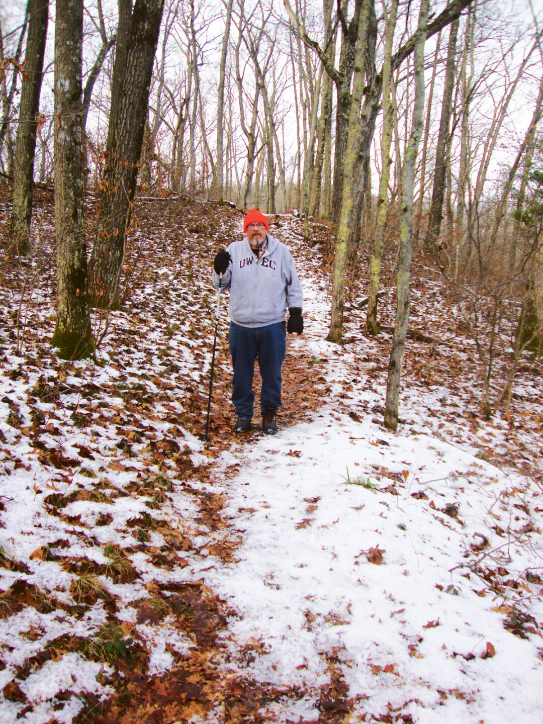
In the meantime, I had become a couch potato and was adding more pounds to my already overweight physique. I avoided walking anywhere when I could drive instead. But I knew that I had to once again face my lifelong weight battle by exercising and counting calories. Jayne regularly walked over a mile each morning in the neighborhood. I would have joined her, but I needed more scenery in my regimen. So, in 2015, we started hitting all the city parks, county parks, state forests, state trails, state parks, and state recreation areas we could reasonably get to. I wanted to recapture the love of the outdoors I had as a kid, when my family camped a lot and I belonged to a Boy Scout troop that regularly went on 15-mile hikes. I had gotten away from nature but was ready to embrace it once again.
“We hiked in six state parks in 2015 and plan to double that amount in 2016. Our state park car sticker pass is one of our favorite gifts to ourselves.”
State Recreation Areas
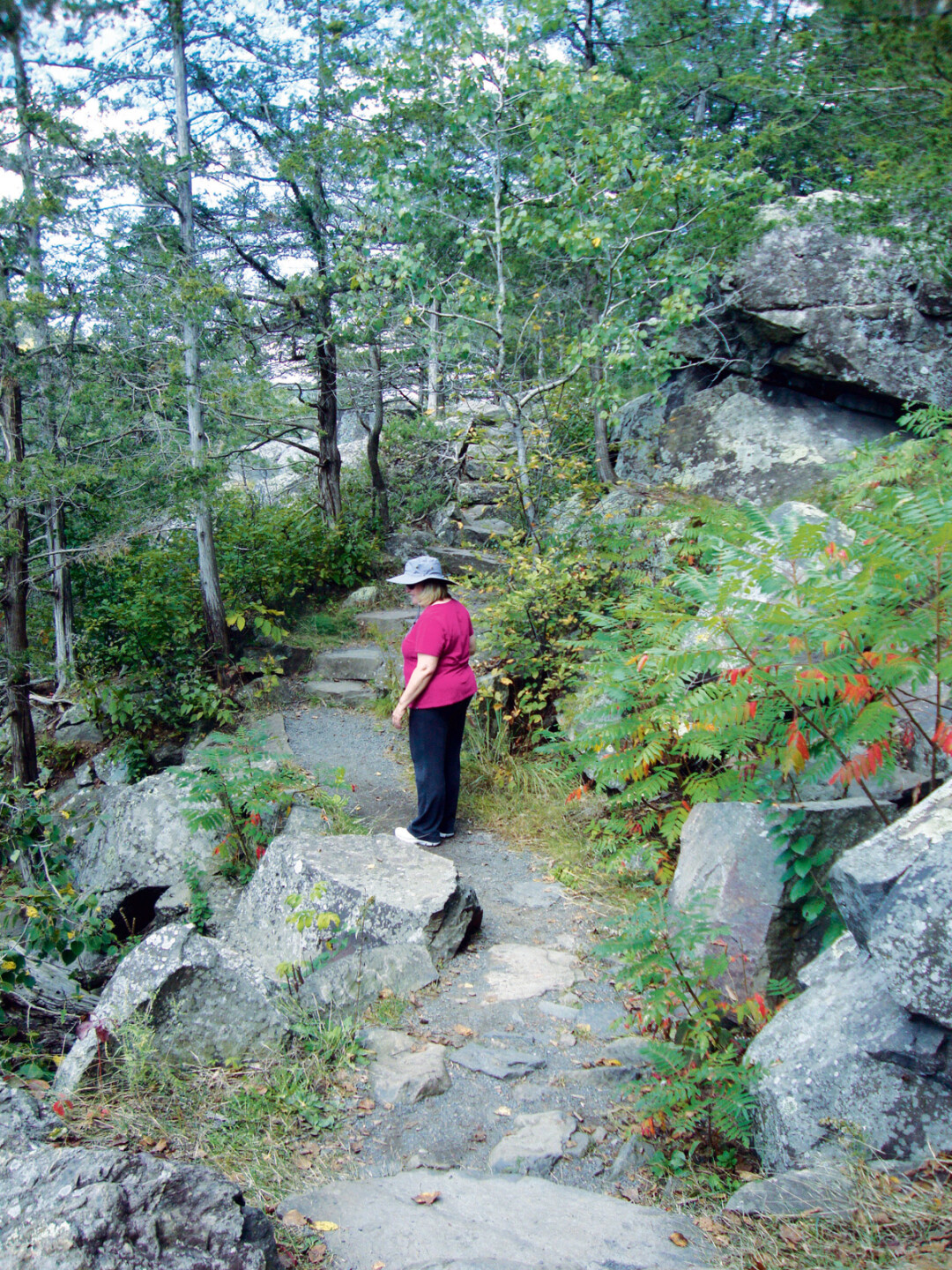
Our very first trail was the 1.8-mile Dry Lake trail located at the David R. Obey Ice Age Interpretive Center just east of New Auburn. We hit the trail on a blustery cold March day, joined by my daughter Julia; her husband, Kirk; and our two-year-old grandson, Harris. Out of the 26 different trail sites Jayne and I walked last year, this turned out to be our favorite. We hiked it seven times that year: spring, summer, fall, and winter. On one of those visits, we did the 4.5-mile hike with our friend Peter Rudrud. On another, we hiked with my colleagues and their families from the UW-Eau Claire Department of Education Studies. This site, officially called the Chippewa Moraine State Recreation Area, has everything I’ve grown to appreciate in a fun trail: narrow, loop-shaped paths, variety in elevation, and scenic water.
To help us plan our next hikes, we consulted Volume One’s “Six Great Chippewa Valley Hikes” list. A more comprehensive source is the Wisconsin Department of Natural Resources “Find a Park, Forest, Recreation Area or Trail” listing. We found many trails that fit our preference for those one-to-two hour hikes.
The other state recreation area we have visited a few times now is Hoffman Hills State Recreation Area, northeast of Menomonie. The first time we went, we slogged through mud as crews were reshaping one end of the trails. We also went up a steep vertical climb at one point to reach the 60-foot-high observation tower. On our second visit to Hoffman Hills, Peter joined us on a longer, more roundabout (and less steep) late fall hike to the tower and back.
State Parks
We hiked in six state parks in 2015 and plan to double that amount in 2016. Our state park car sticker pass is one of our favorite gifts to ourselves. Two of the state parks are near Minnesota: Willow River State Park near Hudson has a very steep hill that leads to a beautiful waterfall. Interstate Park near St. Croix Falls is the westernmost point of the National Scenic Ice Age Trail that runs throughout the entire state of Wisconsin. There is a gorgeous overhead view of the St. Croix River. Given their proximity to the Twin Cities, both parks were very crowded during our summer visits.
Rib Mountain State Park outside of Wausau was one of our favorite hikes because of the rocky path that went up-and-down-and-all-around. Further north of there, near Merrill, is Council Grounds State Park. They have a nice little interpretive nature trail running through the middle of the park as well as an adjoining trail to appreciate the Wisconsin River. Brunet Island State Park outside of Cornell has a series of trails that allows one to explore this island nestled on the Chippewa River. Brunet Island is also the northernmost point of the Old Abe State Trail that heads down to Chippewa Falls.
Speaking of Chippewa Falls, we both fell in love with Lake Wissota State Park. It has several fun hiking trails, including the Lake Trail, which runs along Lake Wissota down to the beach and back. We’ve done that a few times, once with my son Sam and his fiancée, Katie. We have also traversed several of the back section trails during hunting season (we made sure to wear blaze orange). Our favorite trail in this park is the one-mile Beaver Meadow Nature Trail, perfect for families with little ones.
“I remember telling my wife for the first half-mile on the hike that they needed to change their ratings because the hike was really, really easy. I spoke too soon, because we found ourselves going up and down a series of fairly steep hills. I've since learned to trust the DNR trail signs.”
State Trails
We are blessed with access to four state trails in the region. We hiked different lengths of the Chippewa River State Trail that goes through several sections of Eau Claire and beyond. Favorite spots include the short river trail heading east from Boyd Park to Archery Park. My daughter Laura joined me on this hilly stretch where at points you can look directly down at the Eau Claire River. Our favorite section of the Chippewa River State Trail is the two-mile stretch west of the Caryville parking lot.
We hiked three sections of the Old Abe Trail, including a short stretch south of Brunet Island State Park, a long stretch north of Jim Falls, and a short hike on the bridge right over Lake Wissota near the Edge Pub & Eatery. All three sections featured a variety of songbirds, as well as bald eagles, hawks, ducks, and Canada geese.
Jayne and I walked a short stretch of the Buffalo River State Trail. We picked it up in Eleva where the river runs through town. Shortly out of town, we lost sight of the river because of fenced-in private property between the water and us. Next year, we’ll look for more scenic sections outside of both Osseo and Mondovi on our bikes.
Peter joined us to hike the Red Cedar Trail at the north trailhead in Menomonie. It was a nice jaunt up and down along the Red Cedar River and was busy with hikers and bikers. We have also parked at the Downsville site and hiked both south and north of this point. The best section of the trail is the Dunnvsille Wildlife Area. During the summer, we headed east over the trestle bridge and back. This past winter, we went west for two miles and found this stretch to be particularly gorgeous.
State Forests
We hiked in two state forests in 2015. The first was up north in the Northern Highland American Legion State Forest, which contains more than 200,000 acres of woods and water between Rhinelander and the upper peninsula of Michigan. The one site we hiked was the McNaughton Lake Trail off of Highway 47. We walked the three-mile “green trail” that circles around Hawk Lake and Helen Lake. This site also has the options of hiking one mile around Hawk Lake, four miles around Hawk and Helen Lake, or a 5.5-mile circle around McNaughton Lake.
Our second excursion to a state forest was the section of the Black River State Forest close to Millston. The parking lot sign listed three trails; one was rated “More Difficult” and two said “Most Difficult.” We chose the “More Difficult.” I remember telling my wife for the first half-mile on the hike that they needed to change their ratings because the hike was really, really easy. I spoke too soon, because we found ourselves going up and down a series of fairly steep hills. I’ve since learned to trust the DNR trail signs.
Eau Claire County Parks
The three county parks we hiked were Tower Ridge, Lowes Creek, and Big Falls. Tower Ridge has a nice series of hiking trails. They are wide as they double as horse and cross-country ski trails. The most scenic set of trails is within the boundaries of the disc golf course, but casual hikers and competitive disc golfers don’t mix well. Lowes Creek has nice trails but is also better suited for off-road bikers and cross-country skiers (plus the road noise from nearby Interstate 94 is constant). We got lost at Big Falls because our hiking trail was hidden behind an outhouse and we followed it right on to private property.
Eau Claire City parks
The Northwest Community Park near the north crossing is impressive but again is arguably better suited for cross-country skiing and off-road biking. We frequently walk around Carson Park for nice short hikes and have also spent a lot of time on Putnam Trail. Ironically, of all the places we visited throughout the state last year, we saw the most wildlife right within city limits on Putnam Trail. On one visit, we parked at the Putnam Drive site and noticed three deer eating next to the car. They didn’t run away. We sidled past them and a bit further watched two wild turkeys cross the path in front of us. They went up the side of the hill and followed us for several minutes. When we got back to the car, five deer greeted us.
Odds and Ends
The other trails we hiked in 2015 included the cross-country ski trail located in Irvine Park in Chippewa Falls, Hickory Ridge north of Bloomer (a deeper, woodsy version of Lowes Creek), the Bearskin Trail south of Minocqua, and some Twin Cities urban trails, such as Lake Harriet, the Anderson Conservation Area near Eden Prairie, and the River Bluffs Trail which oddly goes through a wealthy, gated community.
That’s what we did in 2015. I lost 60 pounds that year. We have already returned to our favorite sites several times in 2016 and look forward to exploring more trails. We plan to hit the northwest state parks near Superior; trails south of here near the Mississippi River and also Sparta; and the state parks down by Wisconsin Dells. We bought a detailed map of the Ice Age Trail and will be exploring big chunks of that. We have purchased new hiking boots, grips for winter walks, hiking poles, and a bike rack for the car to add that component to our outdoor adventures.
We appreciate all of the work our public employees and volunteers put into all of the trails. We have become fixated on those brown recreational highway signs. Our pulses race when we spot one.
We truly did recapture q love of the wilderness. Several times, in the middle of a hike, we have paused, surrounded by woods, and thought, “There’s nowhere we’d rather be right now.”
And, oh yeah, in 2015, we wound up with only one wood tick between the two us (and it wasn’t on me).
ROB AND JAYNE’S
TOP 5 LOCAL HIKING TRAILS5. The Chippewa River State River Trail by Caryville. You cross two wooden bridges over creeks and eventually join up with the Chippewa River. Shortly after that there is another bridge that takes you through the wooded river bottoms.
4. Hoffman Hills State Recreation Area. Three trails marked “Easiest,” “More Difficult,” and “Most Difficult” head to the observation tower. The 360-degree view from the top of the tower is worth the effort it takes to get there. There is also a fun wetlands trail.
3. The Red Cedar Trail by Dunnsville. When we went in the winter, we had the river on one side and short bluffs with ice waterfalls on the other. Two bald eagles kept us company most of the trip, flying back and forth and then finally posing for pictures in a tree across the river.
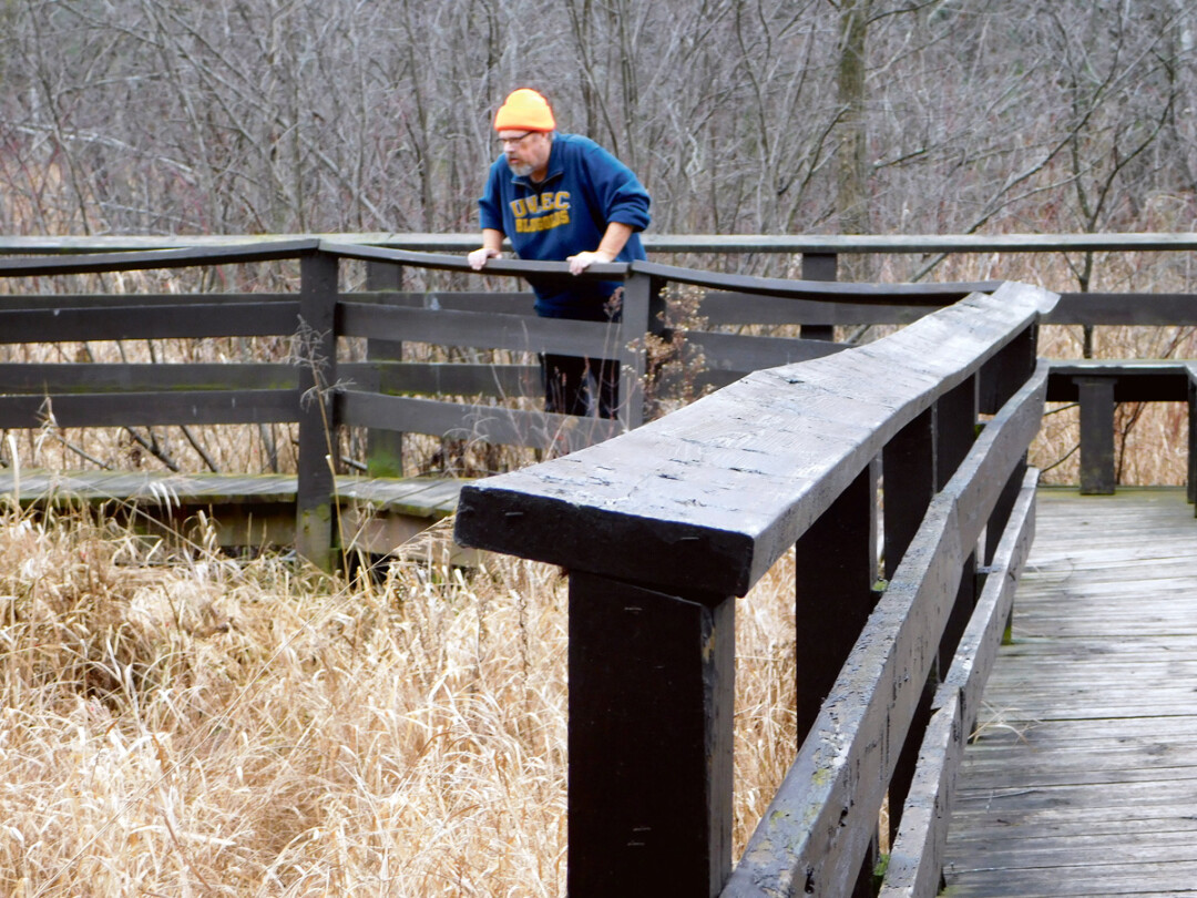
2. Lake Wissota State Park Lake Trail and Beaver Meadow Nature Trail. On Beaver Meadow we always see ducks and Canada geese hang out. The stroll goes through wetlands and includes a natural spring. A wooden footbridge marks where the spring runs into Lake Wissota.
1. Chippewa Moraine at the David Obey Ice Age Interpretive Center. We like both the 1.8-mile Dry Lake Trail and the 4.5-mile Circle Trail. Both trails cross wooden bridges, have Leopold benches for resting, and go past several small lakes known as glacial kettle lakes.