
Traveling in Time
1930s guidebook offers a glimpse of what awaited tourists in the Chippewa Valley
 Putting yourself in the mind of a visitor to your own city is an interesting exercise: If I didn’t live here, you ask yourself, what would I find interesting? What would I visit? What would strike me as unusual?
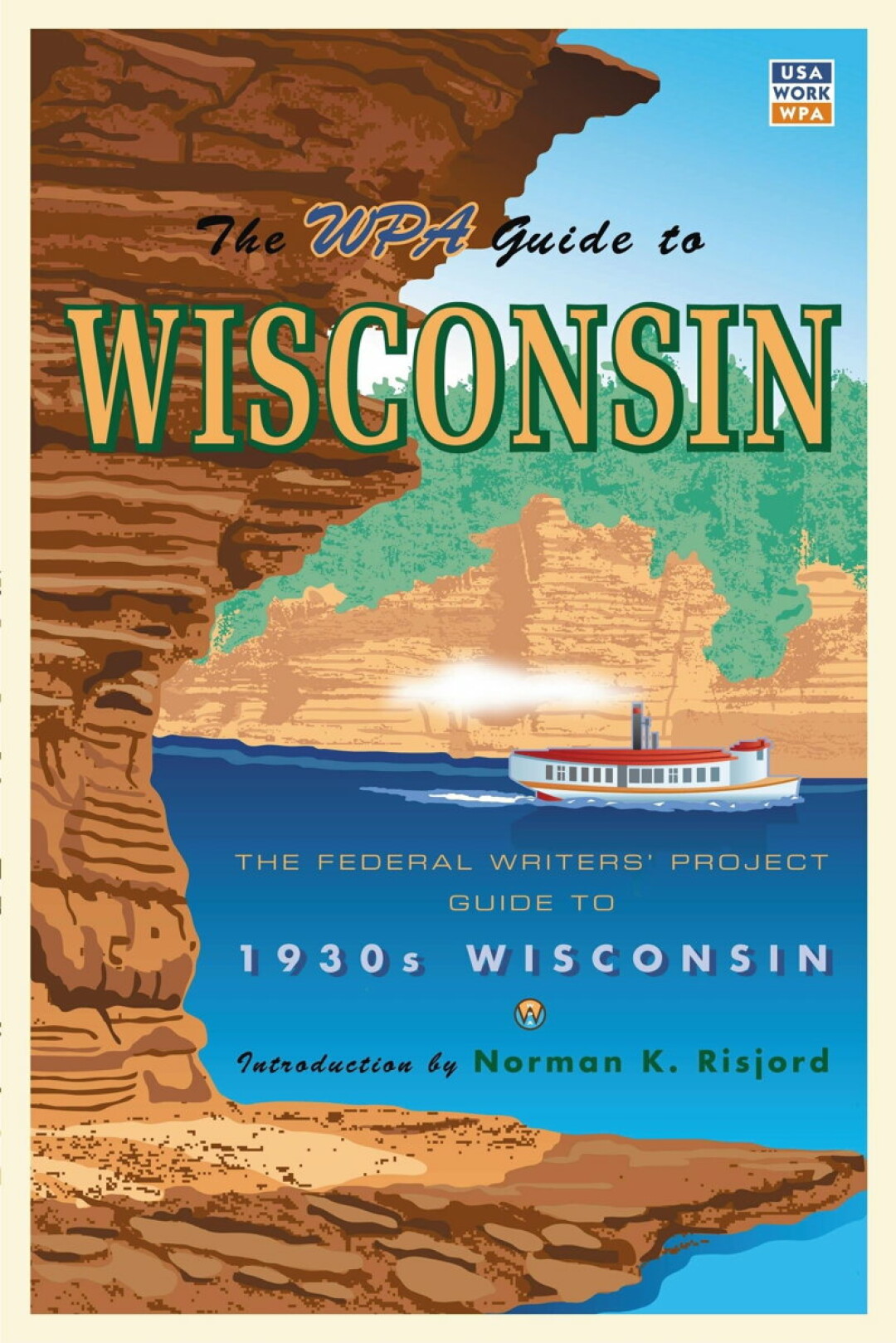
Now consider the same thought experiment with an extra twist: What would your hometown be like if you were traveling in time, too? In the case of the Chippewa Valley, you can get a pretty good picture by perusing the pages of the Wisconsin: A Guide to the Badger State, an exhaustive exploration of the state’s culture, history, and geography published in 1941. It was produced by the Federal Writers Project, a Great Depression-era federal program that made work for unemployed writers.
So what did these federally employed scribes thing was worthy of recording about our region more than 75 years ago? Here are some highlights from the guide, which has been republished multiple times (most recently in 2006 by the Minnesota Historical Society Press).
EAU CLAIRE
“(A) compact and busy industrial city at the confluence of the Eau Claire and Chippewa Rivers, (Eau Claire) has a narrow crooked main street bright with plate glass by day, glaring with neon lights at night; its many factories lie back along the tracks that parallel the cramped and curving rivers. ...
“Today Eau Claire also produces kitchen utensils, farm machinery, books and stationary, mill tools, mechanics’ supplies, sewer pipe, refrigerators, automobile tires and accessories. The Gillette Rubber Company Plant, the largest in the city, covers three city blocks and employs 2,500 men at peak production. …
“There is a State Fish Hatchery on Putnam Drive, which runs in a two-mile curve along the base of the southern bluffs. Carson Park (boating and bathing facilities; picnic grounds; tennis courts, baseball and football fields), occupies a peninsula extending out into Half Moon Lake, a narrow, spring-fed body of water in the western part of the city. In the park is a Paul Bunyan Camp (free; open daily) consisting of a cook shack, bunkhouse, stable, and blacksmith shop equipped as they were in the old lumber camps. The city also has a State Teachers College. Mount Tom, a pyramidal rock rising abruptly from the plain in the northern section of the city, has been made into a municipal park.”
CHIPPEWA FALLS
“The Northern States Power Company Hydro Plant dominates the city, the reflections of its lights visible for many miles at night. … Chippewa Falls has three large shoe factories, a woolen mill, and two small meat packing and food processing plants. The city is also the headquarters of the state branch of the Farmers Union, one of the largest and most powerful of the farmer organizations. … Chippewa Falls is at the junction with U.S. 53. State 29 plunges downhill out of residential Chippewa Falls and followed the green gorge of the Chippewa River.”
MENOMONIE
“On the banks of the swift Red Cedar River, (Menomonie) began when lumbermen saw that the Red Cedar was a natural highway for logs and Menomonie a logical sawmill site. …
“With its sawmills silent, slowly rotting away in piles of pungent sawdust, the fading city was saved by new enterprises, notably a power plant on the Red Cedar River, and Stout Institute, Main and 2nd Sts., the only college in the country devoted wholly to training teachers in the industrial and household arts. …
“Although largely a college town, Menomonie is frequented by farmers of the vicinity, who come to sell their milk to the condensery and trade at the local stores.”