Get Lost in Time, Not the Woods
for 1,200 miles, Ice Age Trail follows a glacial path across Wisconsin

We lucky Wisconsinites have one of only 11 National Scenic Trails in the country. The 1,200-mile Ice Age Trail passes through 31 Wisconsin counties, starting (or ending) in Door County. It winds south to Rock County near the Illinois border, then curves north until it reaches Langlade County. From there it heads west to St. Croix County and the Minnesota border. The odd shape of the trail follows the path of the glacier that came down from Canada during the Wisconsin Glacial Episode, between 75,000 and 10,000 years ago.
On its way west, the Ice Age Trail passes through Chippewa County and the 4,000-acre Chippewa Moraine National Scientific Reserve, one of nine Ice Age Scientific Reserves in the state. These areas are connected by the trail and were set aside to preserve and protect the geologic and scenic value of the glacial landforms.

David R. Obey Interpretive Center
A great way to access the Ice Age Trail in our neck of the woods is at the David R. Obey Interpretive Center, eight miles east of New Auburn on County Highway M.
Just 33 miles north of Eau Claire on U.S. Highway 53, the interpretive center (a.k.a. visitors’ center) sits high on an ice-walled-lake plain, a flat-topped hill that was once the bottom of a glacial lake. It’s open year-round and is packed with fascinating exhibits and short videos about Ice Age terminology and geographic features as well as the history, culture, landscape, and animals of the region.
Admission to the visitors’ center is free (although donations are appreciated), and it’s a great place for both kids and adults. As part of the hands-on exhibits, kids can hold a snake, pet a turtle, feed the fish, dig for fossils, go on a scavenger hunt, and check out life under a microscope.
Parents and kids can work together outside the visitors’ center using the two-person cross-cut saw, playing tug-of-war the voyageur way, and even learning how to throw a tomahawk. Kids can complete a Junior Ranger (for kids K-third grade) or Wisconsin Explorer (fourth grade and up) activity book for a cool patch.
You can also pick up free maps of the trails or buy T-shirts, guidebooks, or other merchandise. Restrooms and drinking water are also available, as are snowshoes in the winter (for a small donation).

Hiking and Camping Options
For fee-free parking, leave the car in the lot at the visitors’ center. Watch dozens of species of birds flying around the grounds before setting off on one of the three loop trails, ranging from a quick 0.7 miles to a heartier 4.5-mile trek. See if you can point out the difference between a hummock, a kettle, and an outwash plain and identify the creatures scurrying around.
If you’re looking for an overnight excursion, hike to one of the two primitive camping sites accessible from the visitors’ center. They’re $16 a night and are available on a first-come, first-served basis.
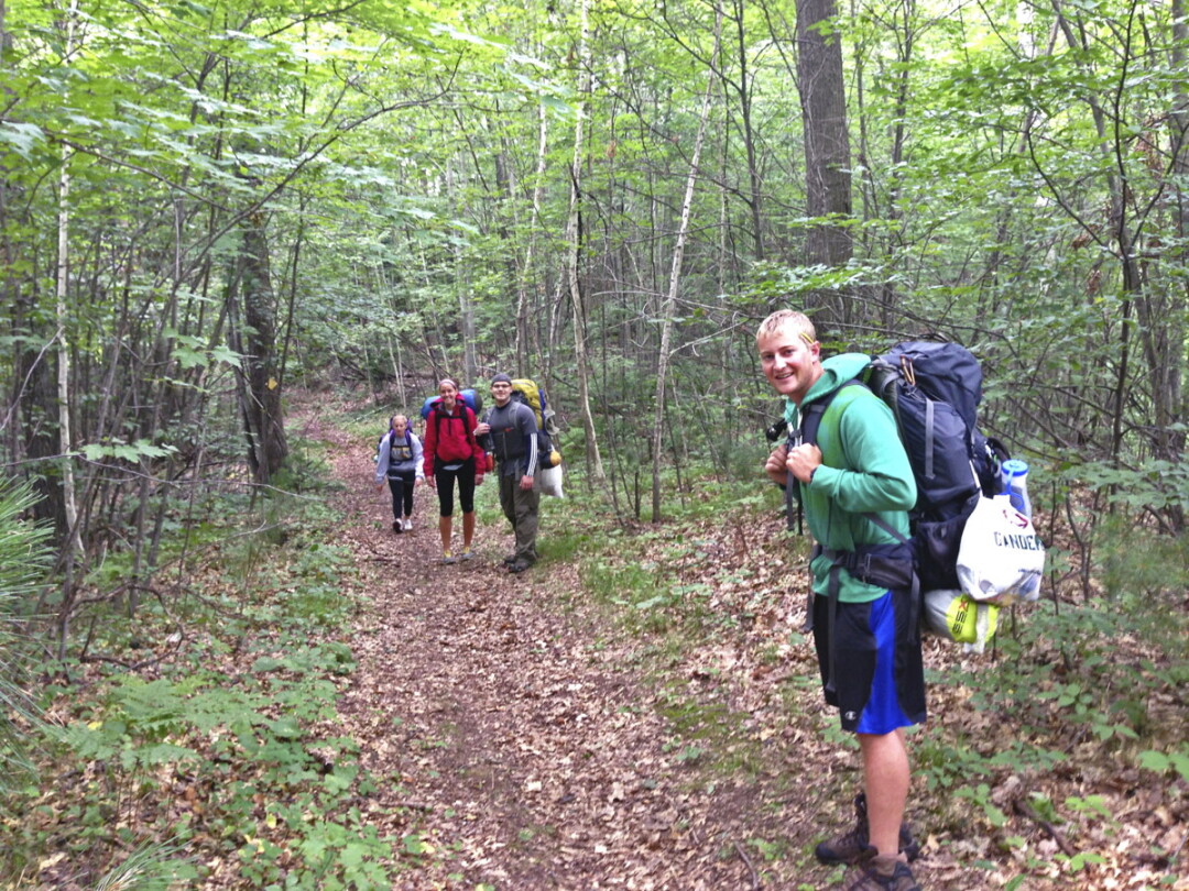
If you’re feeling ambitious, instead of walking a loop, hike the Ice Age Trail all the way to Brunet Island State Park in Cornell. This 20-mile route covers four segments of the Ice Age Trail: Chippewa Moraine, Harwood Lakes, Firth Lake, and Chippewa River, taking you through quiet, picturesque landscapes. (Note: If you plan a hike through and leave a car at Brunet Island, a state parks vehicle admission sticker is required. There’s no admission fee if you arrive on foot.) Or, if 20 miles is child’s play to you, keep walking the trail past Cornell into Taylor County and beyond!
The trails, including the Ice Age Trail, are foot paths. No motorized vehicles, horses, or bicycles are allowed. Dogs are welcome, but be sure to bring bags for clean-up.
No matter what outdoor activity you prefer, there are ample opportunities for it along the Ice Age Trail, just a short road trip away.

The Obey Interpretive Center (13394 Co. Hwy. M) is open Tuesday through Sunday 8:30am-4pm all year round. The Center is closed Mondays and some holidays; call ahead if you’re unsure. From U.S. Highway 53, take the New Auburn exit and travel east on Highway M for eight miles. Call (715) 967-2800 with any questions. The Ice Age Trail Alliance (iceagetrail.org) is a great resource for maps, guidebooks, a glaciation glossary, recommendations, volunteer information and more.

