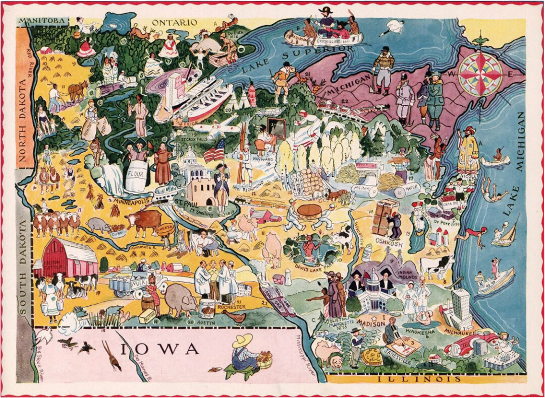
This Beautiful Map Shows Wisconsin in 1932
Thanks to the David Rumsey Map Collection, this beautiful old-timey map of Wisconsin is available for your viewing pleasure. It was designed by Berta and Elma Hader in 1932 as part of a set aiming to map out the iconic parts of every state in the country.
The map depicts several things in the state that have since disappeared; the auto industry of southern Wisconsin, OshKosh luggage, and Strand Skis. But it also shows several things that have stayed the same, like the prolific and timeless dairy industries, the iron mines of northern Wisconsin, and Devil's Lake as Wisconsin's premiere summer swimmin' hole.
Phil Edwards at Vox.com put together an anotated, interactive version of the map with some fantastic rundowns of our state's depicted history. Check it out!


