2012 Olympics get help from local professor's awesome charts

When watching this summer’s Olympic Games in London you may not have realized there was a part of Eau Claire that helped make them so ... Olympicy. So Keep Calm and Carry On find out how ...

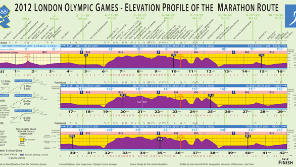
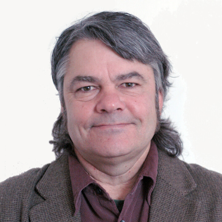
UW-Eau Claire Professor Sean Hartnett mapped the Olympic marathon run. As a former runner himself, he is aware of the importance of preparing for a race especially with a detailed knowledge of the course. So he mapped the changing elevation in the course to give marathon runners an advantage.
It's his experience as a runner that allowed Hartnett to create the map in the point of view of a marathon runner, giving the runner what they want to know, such as hilly areas or distance between water tables.
Hartnett could not make it to the course before the race to use GPS equipment like he has done in the past, so he resorted to other technology. The professor used Google Earth to get some numbers and London officials were able to send him elevation maps of the course.
V1 isn’t the only publication that is impressed with Hartnett’s ability to aid runners with his maps. Sports Illustrated wrote an article about his experience with the Olympic marathon in London. Check it out: Sports Illustrated article here.


