Wheely Useful
the Chippewa Valley finally has a detailed bike map
Tom Giffey, photos by Serena Wagner |
With a fairly robust network of state- and city-designated bike trails, an increasing number of on-street bike lanes and “sharrows,” and a growing culture of biking for transportation and recreation, it’s somewhat surprising that one simple, useful tool has eluded the Chippewa Valley’s bicyclists until now: a good map.
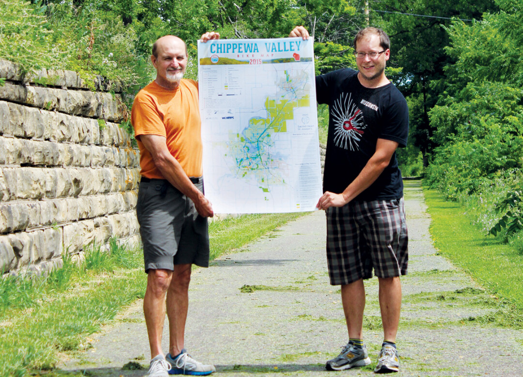
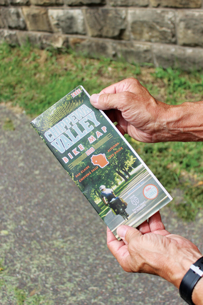
That has finally changed. After several years of development spearheaded by local bike enthusiasts Jeremy Gragert and Dick Johnston, the Chippewa Valley Bike Map has at last gone from the drawing board into bicyclists’ back pockets. The two-sided, fold-out publication includes heavily detailed maps of Eau Claire, Chippewa Falls, and the entire metro area, including Altoona, Lake Hallie, and the adjacent countryside.
“It’s sort of an urban adventure map – a Choose Your Own Adventure map,” says Gragert, a board member with the Chippewa Valley Transit Alliance. State and city trails are marked, but the most valuable part of the map is its inclusion of an exhaustive network of recommended street routes, which are color-coded to indicate their level of comfort. Routes were deemed more or less comfortable based upon numerous factors, such as the amount and speed of vehicle traffic, street width, and topography.
 “Anything we had a question about, we rode ourselves,” explains Johnston, a member of the city’s Bicycle/Pedestrian Advisory Commission.
Routes were created to be useful for both transportation and recreation, making the map useful for all manner of bicyclists, from those looking for some scenic weekend exercise to those who use bicycles as their primary method of transportation and want to find the simplest, safest way to get from Point A to Point B.
The map project grew out of conversations at the 2012 Clear Vision Empowerment Summit, organized by Clear Vision, a citizen-based planning initiative. While building new infrastructure for bicyclists is expensive and time-consuming, creating a map was seen as comparatively easy, Gragert says. However, he adds, “There’s a lot of reasons it hasn’t happened. It’s a big project.” So big that it took three years of hard, cooperative work to create the map.
With the help of base maps from the West Central Regional Planning Commission, Gragert and Johnston drew numerous drafts of the bike map by hand. Graphic designer Kevin Szymanski transformed these into the final product, and the map was printed with financial help from HSHS Sacred Heart and St. Joseph’s Hospitals, the WCRPC, Friends of the Chippewa River State Trail, and the BPAC. Fifteen thousand copies were printed, and maps are now being distributed to numerous outlets across the Chippewa Valley. Gragert says he hopes the map has a shelf life of a few years before a revised edition is created.
While the map highlights the infrastructure available to bicyclists, it also illustrates – at least indirectly – the shortcomings of the current transportation system when it comes to getting around by bike. Among these, Gragert and Johnston note, are the incomplete portion of the Old Abe State Trail in Lake Hallie and Chippewa Falls; safer routes across Clairemont Avenue; and a dreamed-of bike and pedestrian bridge over the Chippewa River at Putnam Park.
“We’re trying to spur the city along to improve the infrastructure on these routes,” Gragert says. And that goes not only for the city of Eau Claire but for Chippewa Falls, Altoona, and Lake Hallie as well.
With luck, the next edition of the Chippewa Valley Bike Map will include more and better color-coded routes for all of us who travel by pedal power.
Copies of the free bike map are available at bike shops, public libraries, government offices, chambers of commerce, Visit Eau Claire, UW-Eau Claire, and The Local Store, 205 N. Dewey St.
